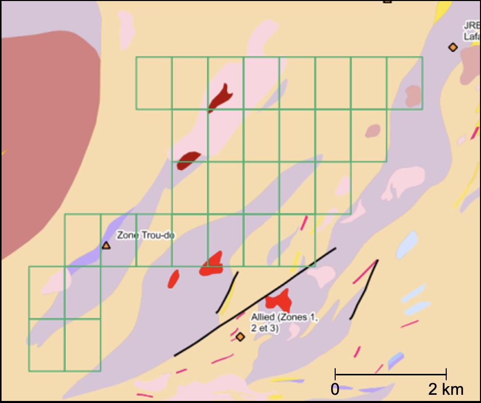
The Lac du Km 35 Property is comprised of 75 claims covering an area of 4,150 hectares (41.5km2).
Location: The Lac du Km 35 Germanium Property is approximately 40 km east of the mining town of Chibougamau in the Nord-du-Québec region of Québec and has excellent access through Highway 167 and a main lumber road that transects the whole property from the west to the east as well as a network of secondary roads.

Discovered by government geologists in 1998 and never followed up, the Laganière Germanium showing consists of a peridotite outcrop within the Laganière gneissic Complex that comprises amphibolites and hornblende and biotite gneisses. The Laganière showing returned a value of 0.02% (186 ppm) germanium and is currently the highest germanium value ever reported from an outcrop in the whole Québec.
The Laganière Germanium showing is located right alongside the main lumber road and immediately adjacent to the south to a cluster of electromagnetic anomalies of roughly 400 m x 400 m in size that were never tested. The Laganière germanium showing is also 450 m northeast of the Faribault Shear Zone, 800 m from the southern margin of the Duberger felsic pluton and approximately 2 km to the west of the Grenville Front. Apart from regional mapping and sampling of government geologists, the Laganière Germanium showing area remains vastly underexplored and overlooked and constitutes the prime focus for the company.
Recent exploration work performed in 2024, consisting of prospecting and sampling, allowed to collect 39 outcrop samples. Values up to 0.27% nickel, 0.04% cobalt, 0.24% copper and 0.21 g/t Au were obtained from these samples. The highest zinc value is 0.07% and only 3 samples had overall zinc values over 0.05%. Due to the digestion method selected, germanium values were deemed not reliable.
The Corporation plans a detailed airborne survey for acquiring new and modern magnetic and electromagnetic data to be followed by ground prospecting on the main anomalies. A drilling program will be carried out on the best targets.